
Pithoragarh, Uttarakhand
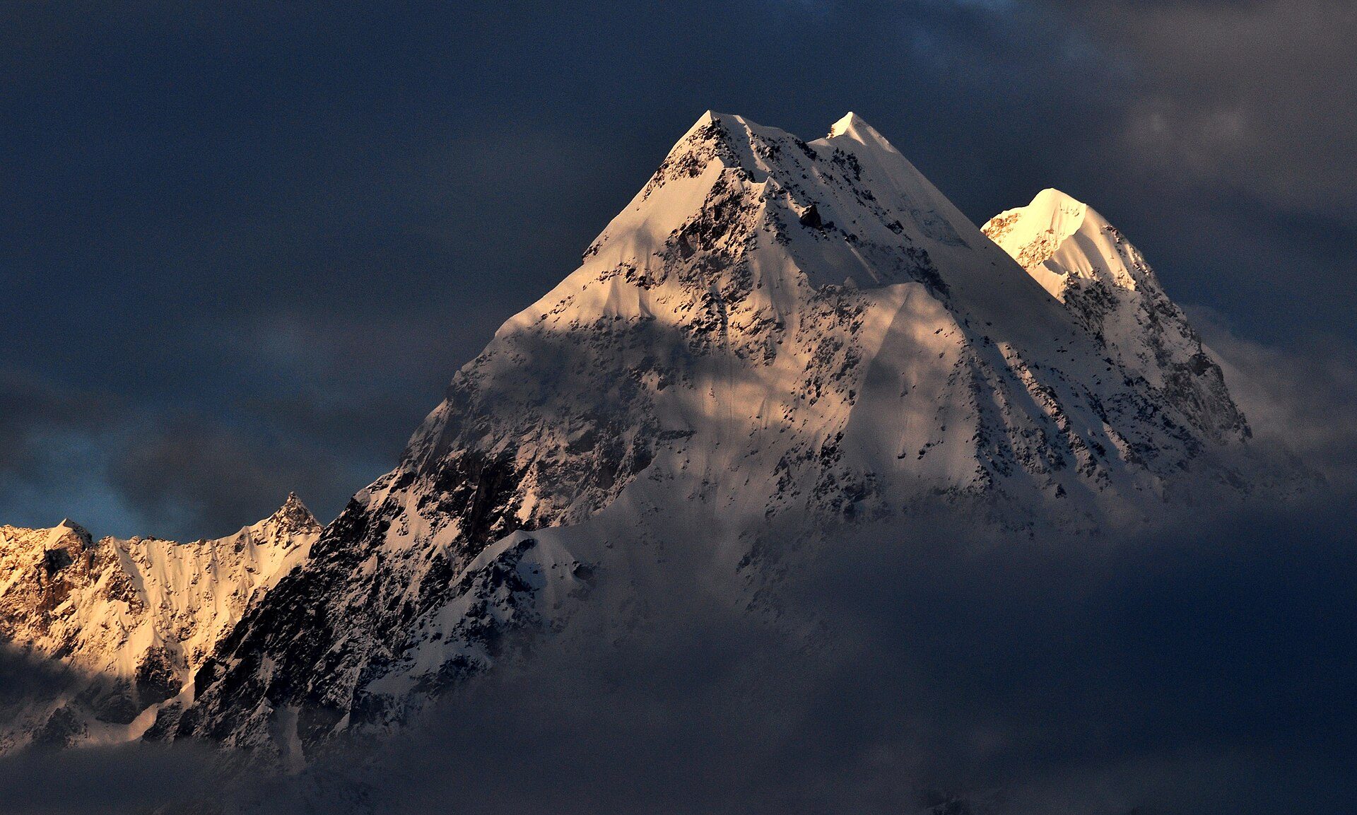
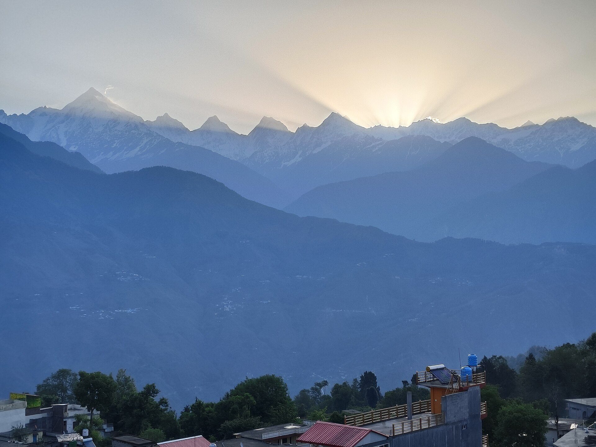
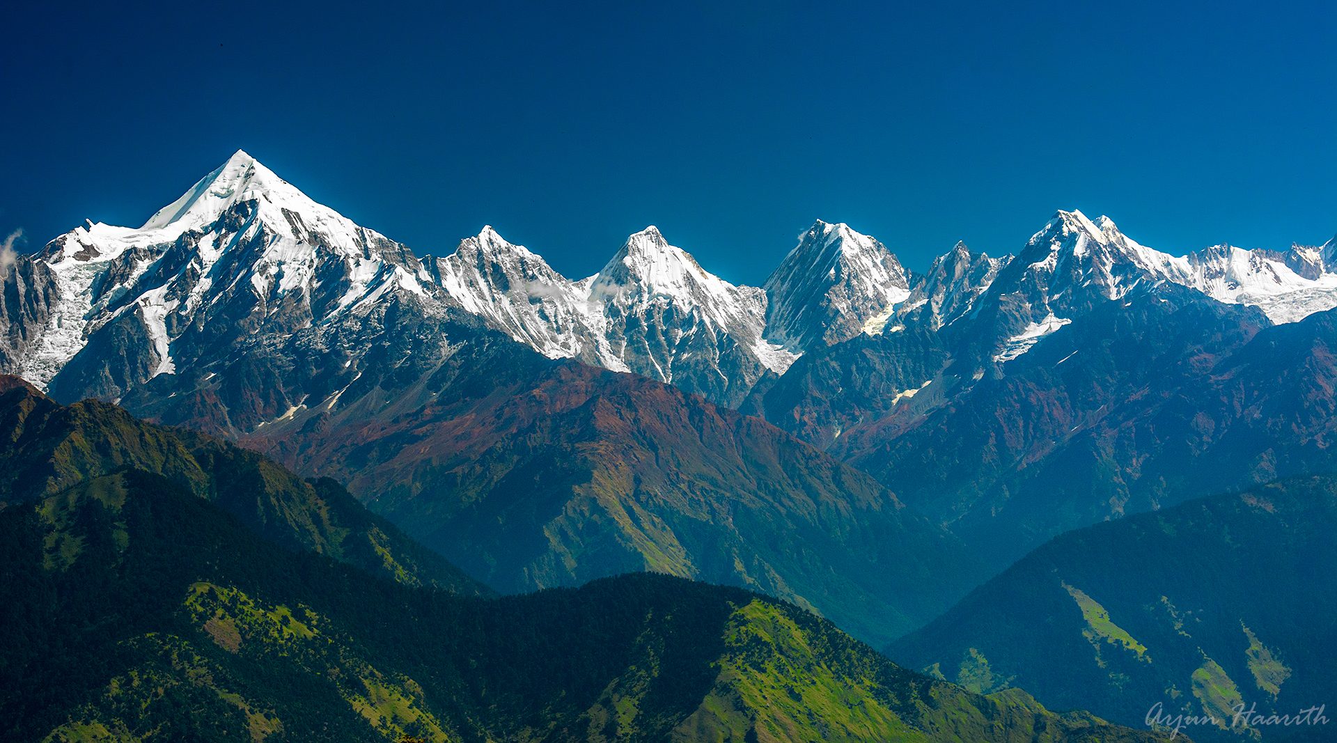
Munsyari
Munsyari stands at 2,135 m, and the surrounding region goes by the name Johar Valley. Trekkers use it as the starting base for the routes to Milam, Ralam and the Namik glacier.
Alpine lakes lie around the town, among them Maheshwari Kund and Thamri Kund.
Dharchula serves as another jumping-off town, for the Kailash Mansarovar and Adi Kailash yatras and for Narayan Swami Ashram. If you are planning a longer mountain trip, ask us how these places fit together.
Getting there
- By air
- 94 km from Naini Saini Airport
- By train
- 300 km from Kathgodam railway station
- By road
- 90 km from the district headquarters in Pithoragarh
Distances are approximate. Hill roads and weather change, so ask us about current conditions before you set out. See all places to go